Regional Ocean Forecast System (ROMS)
Description
Runs a regional ROMS configuration for the Texas-Louisiana shelf on a rolling forecast cycle, ingesting atmospheric forcing and open-boundary/tidal conditions to generate multi-day forecasts of 3D currents, temperature, salinity, and sea surface height. Forecast fields are going to be served live via a THREDDS data server (Under construction).
Regional Ocean Forecast System runs 5-day forecast and 1-day nowcast daily. Atmospheric forcing is from NOAA’s Global Forecast System (GFS) and open boundary conditions are obtained from Copernicus’s Forecast and Analysis product. Tides are prescribed along the open boundaries by Oregon State University’s TPXO. Forecast output is validated against observations namely water levels, current velocity, and temperature when available.
Computer Systems
I can use various computer systems to implement operational forecasts depending on client/my resources. Here is the list of examples. Currently, I am using a local workstation for testing ocean models listed on my website.
- Amazon Web Services
- High Performance Computing (HPC)
- Custom-built server
- Local workstation
Example
- New York Bight Operational Forecast — Prototype operational forecast for NYB
- Texas-Louisiana Operational Ocean Forecast — Operational forecast maintained at Texas A&M University
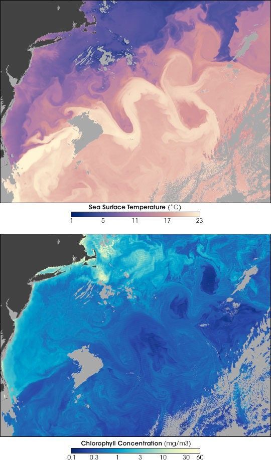
Thumbnail: The Gulf Stream, MODIS/Aqua — public domain (NASA Earth Observatory, Norman Kuring/MODIS Ocean Team).