Products
The following is the list of software tools and modeling products I’ve developed and I can provide. This is ongoing activity, so the list will be updated and there will be more products available in the future.
Software
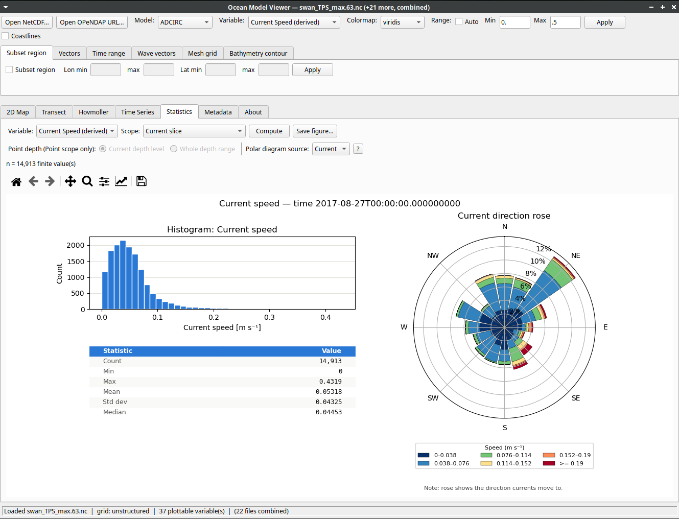
Ocean Model Viewer
A lightweight visualization tool for various ocean model outputs (ROMS/SCHISM/Delft3D/ADCIRC/SWAN) without needing a full GIS or scripting stack.
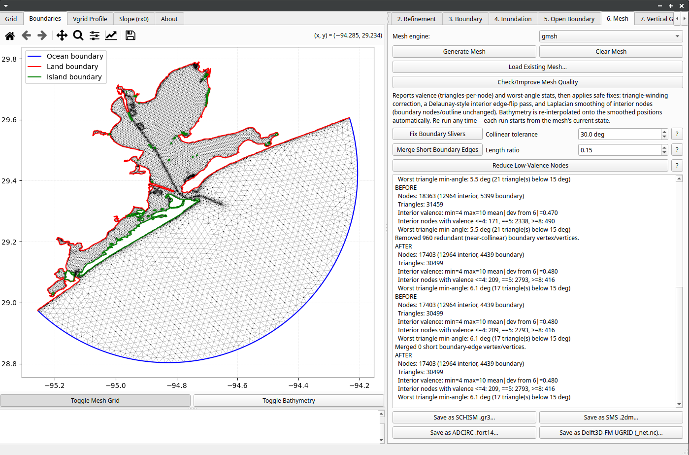
TRITON (TRIangular mesh Tool for Ocean Numerical models)
TRITON, a graphical tool for generating and QA/QC-ing unstructured triangular meshes for ocean numerical models such as SCHISM, ADCIRC, Delft3D-FM, SWAN and WW3, without scripting the underlying workflow.
MOSAIC (Model Observation System for Assessment, Improvement, and Calibration)
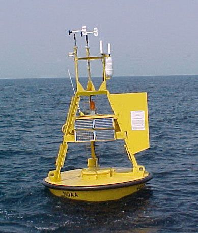
MOSAIC (Model Observation System for Assessment, Improvement, and Calibration) — a framework for systematically comparing ocean model output against observations to guide calibration and report model skill.
Modeling Products
Regional Ocean Forecast System (ROMS)
An operational ocean forecast system built on ROMS (Regional Ocean Modeling System), producing short-term forecasts of currents, temperature, and sea level for the Texas-Louisiana shelf to support marine operations.
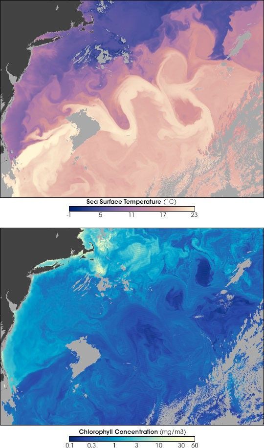
Coastal Hydrodynamic Modeling (ROMS; SCHISM; ADCIRC)
A multi-model coastal and shelf hydrodynamics capability, matched to the region and physics needed — ROMS for 3D shelf circulation, SCHISM-WWM for general-purpose coastal/estuarine circulation, and ADCIRC for storm surge and inundation modeling.
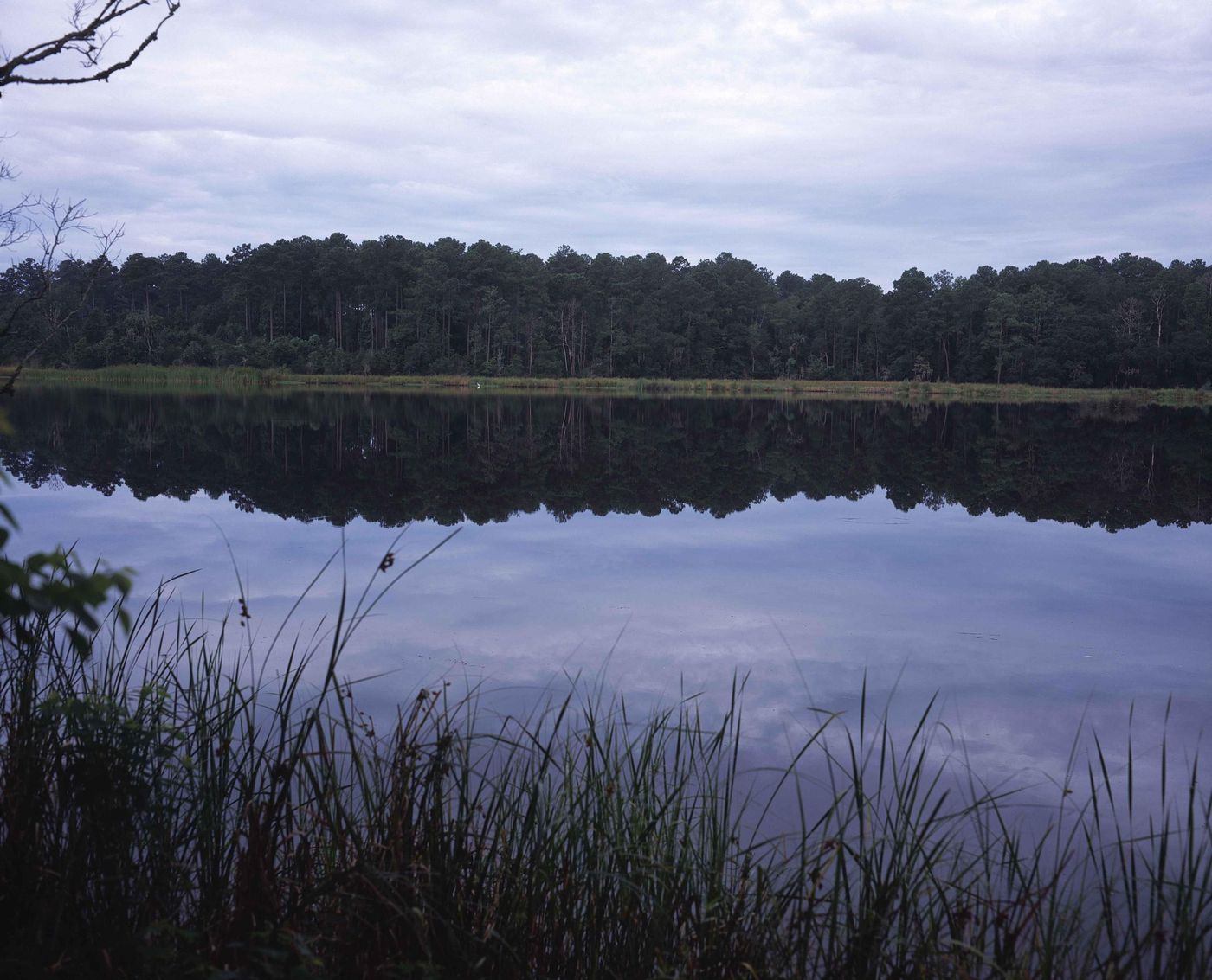
Regional and Coastal Wave Modeling (SWAN; WW3)
High-resolution wave models that predict wave transformation in offshore and nearshore water. A workflow of wave models based on Python have been developed. Offshore waves can be Wave Watch III or SWAN, which nests nearshore water, which is based on SWAN (structured or unstructured).
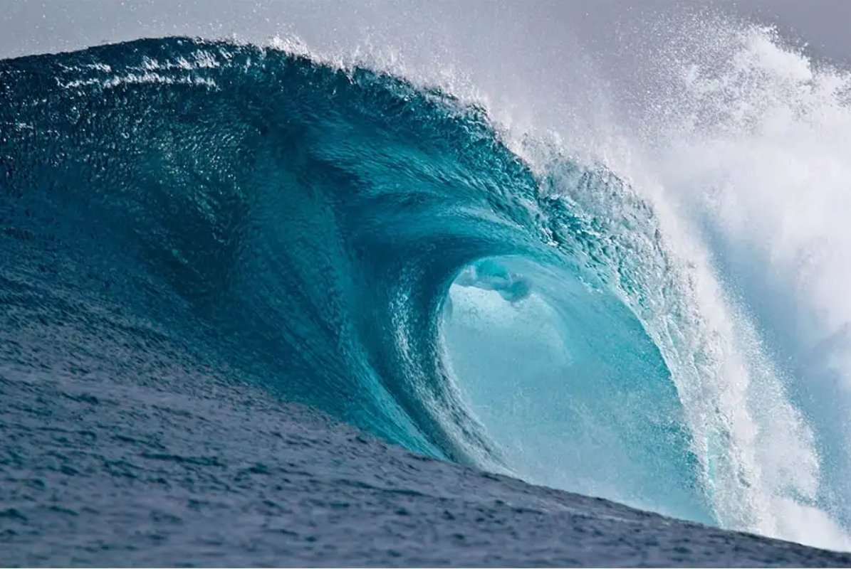
Hurricane Wave and Storm Surge Modeling (SCHISM-WWM; ADCIRC-SWAN)
Coupled wave and storm surge simulations for hurricane events, producing flood and wave-height forecasts/hindcasts for coastal risk and emergency-response planning.
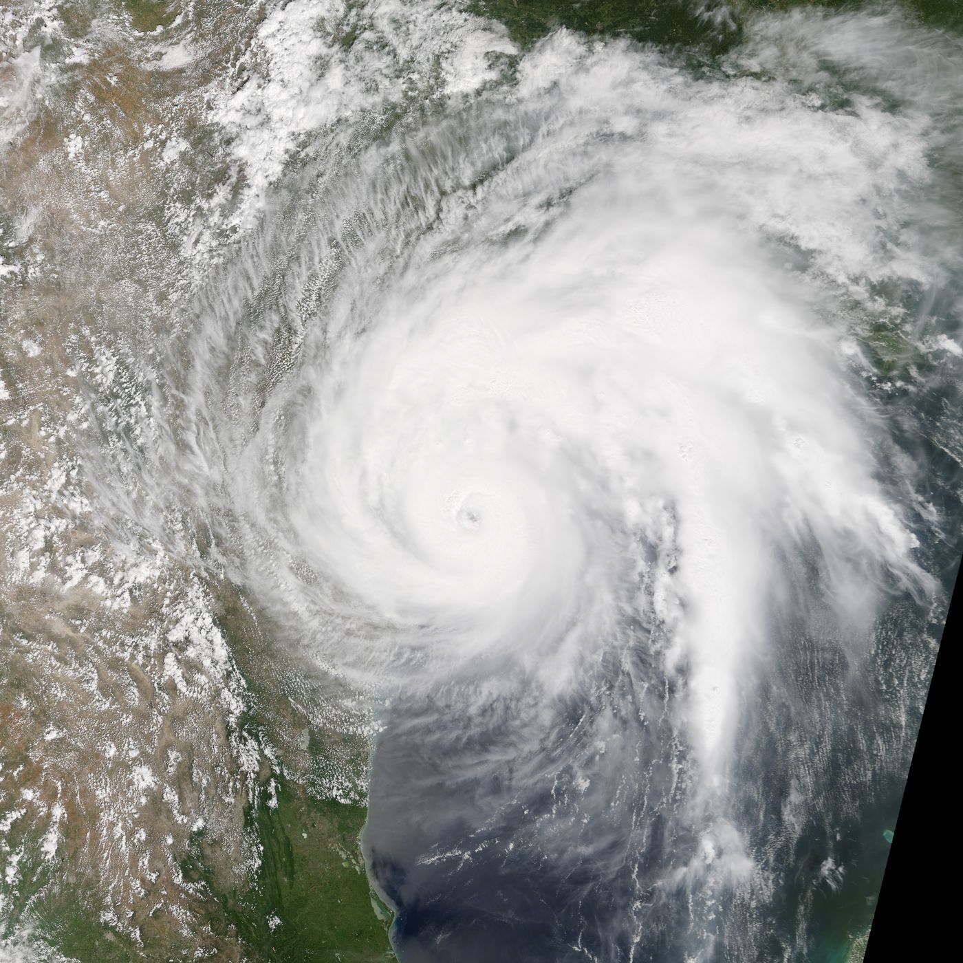
Compound Flood Modeling (SFINCS)
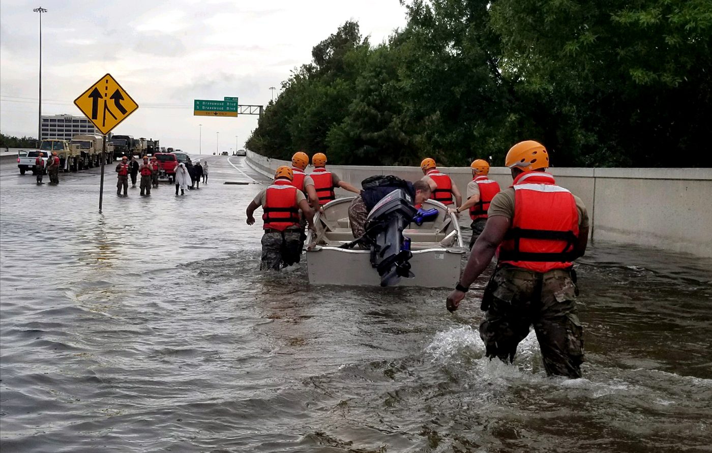
Compound flooding simulations using SFINCS for hurricane events, producing flood level and extent for coastal infrastructure risk and emergency-response planning.
Beach Morphology Modeling (XBeach)
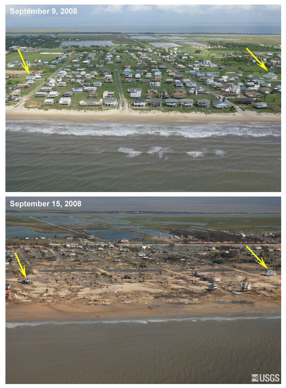
A physics-based beach and dune morphodynamic modeling capability using XBeach, simulating storm-driven shoreline and dune erosion for coastal risk and resilience assessments.