Pipeline Assessment
Assessed metocean and seabed hazard conditions along a client’s subsea pipeline corridor to support routing and integrity decisions.
The Challenge
The client needed to understand near-seabed currents and scour/free-span risk along a pipeline route to support routing and integrity decisions.
The Approach
Combined regional hydrodynamic model output with site bathymetry and geotechnical data to characterize near-seabed currents and sediment mobility along the corridor.
The Result
Delivered a route assessment identifying segments of elevated risk, informing re-routing and protection recommendations that the client incorporated into the final design.
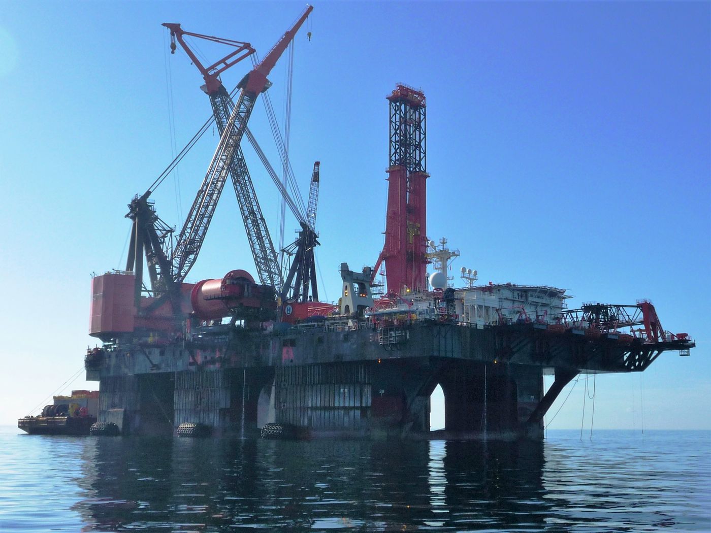
Thumbnail: Pipelay vessel Balder, offshore Trinidad — © BoH, CC BY-SA 3.0, via Wikimedia Commons.